 2 places
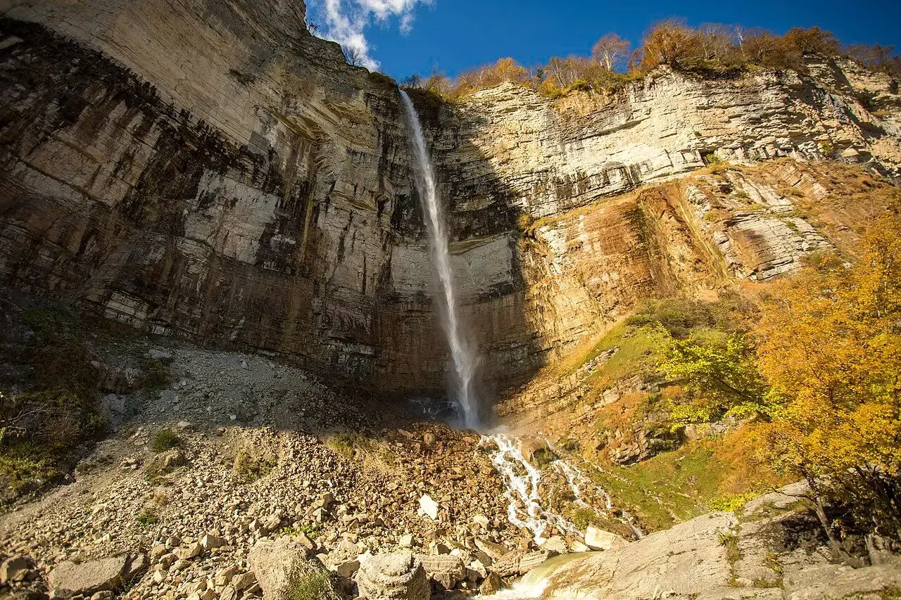
Waterfalls
Georgia’s mountain rivers form waterfalls in many places, often hidden in gorges and forests. They run fullest in spring, when the snow melts. Paths are often wet and slippery, so wear sturdy shoes.
Filters in detail
Every category and map layer in one place: what it covers, how many there are, where they are and how to use them.
Places from our catalog, with photos, a map and practical details.
2 placesGeorgia’s mountain rivers form waterfalls in many places, often hidden in gorges and forests. They run fullest in spring, when the snow melts. Paths are often wet and slippery, so wear sturdy shoes.
 5 places
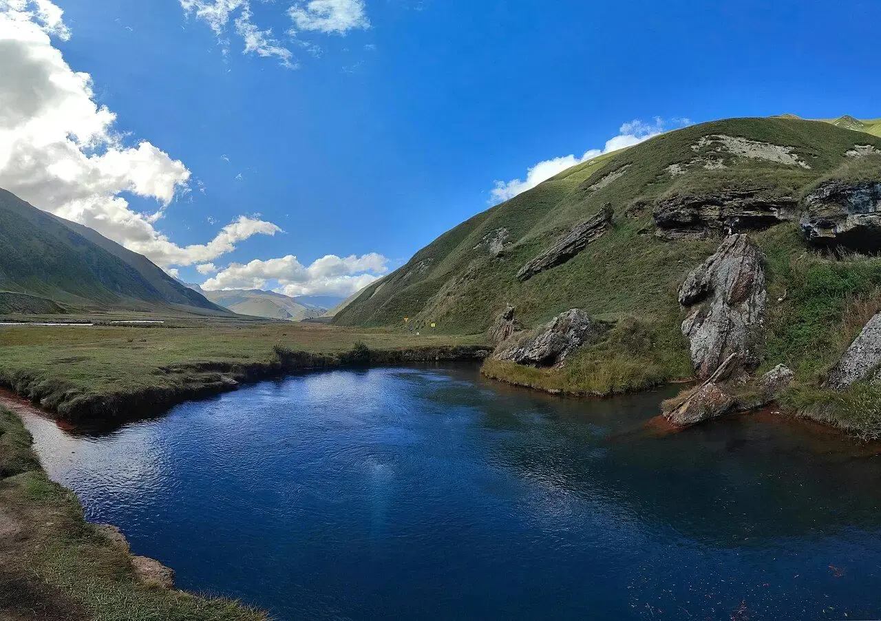
From mountain lakes to lowland reservoirs. Some lakes can only be reached in summer, when roads and paths are free of snow, so check the weather and road conditions before you go.
 7 places
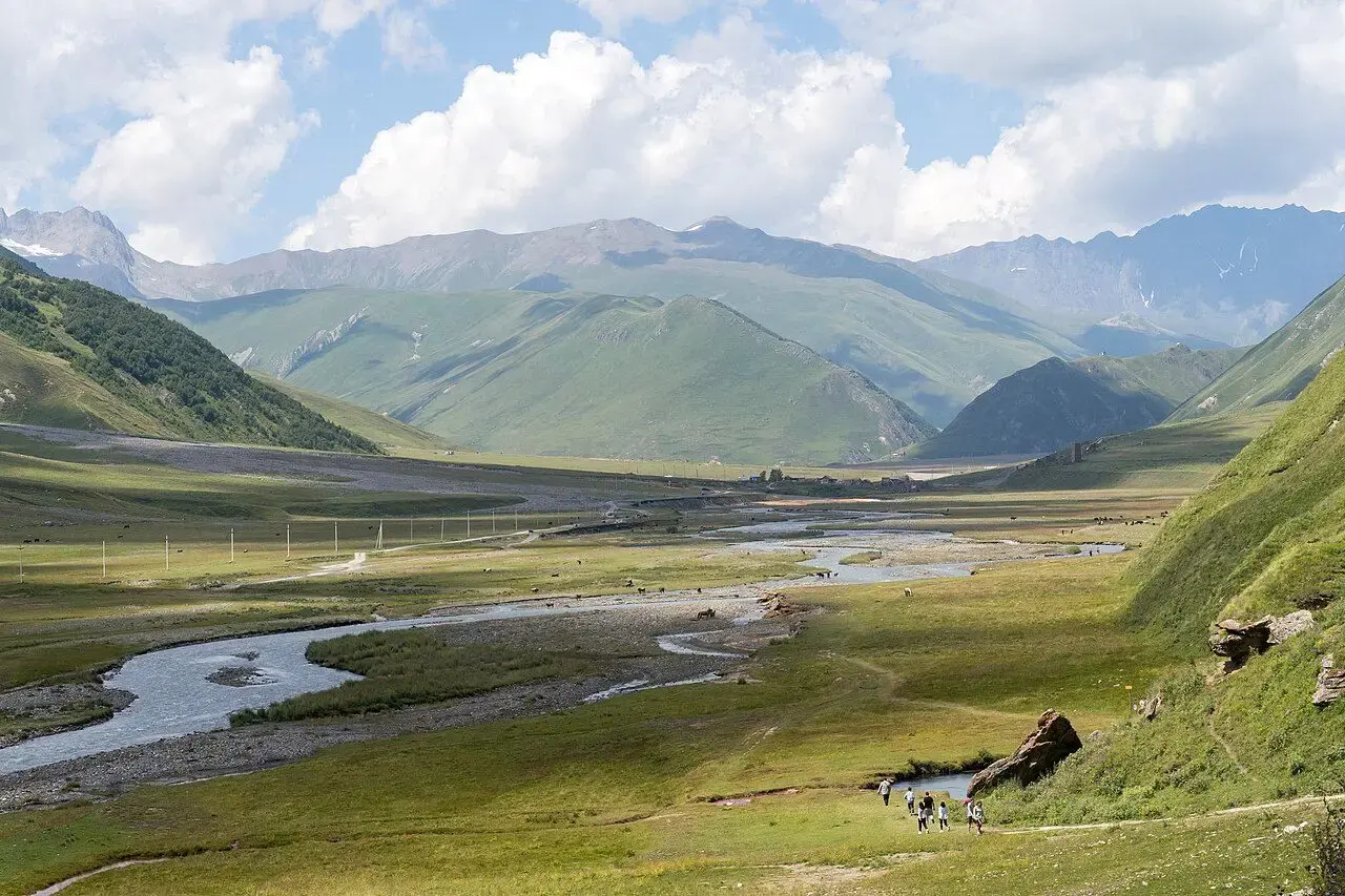
Trails of every difficulty, from short walks to full-day hikes. Mountain weather changes fast: bring water and warm layers, and share your route with someone.
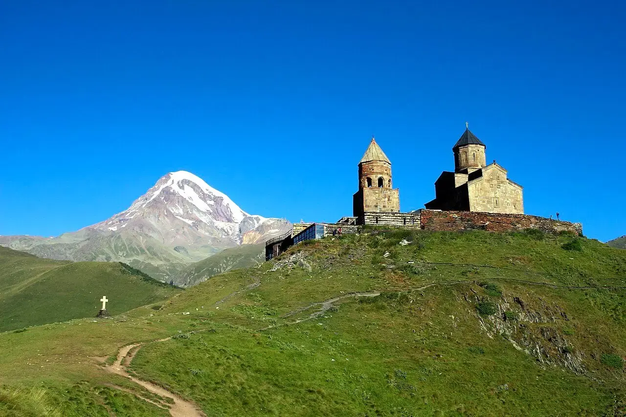 5 places
Spots where valleys, peaks and villages open up at a glance. The best light is usually early in the morning and at sunset.
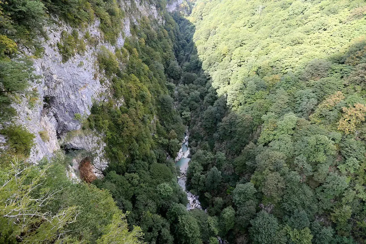 5 places
Deep rocky gorges with rivers and waterfalls. Some have paths and bridges, others are seen only from above. Inside a canyon, keep an eye on rain and the water level.
Services from OpenStreetMap: hotels, hospitals, fuel stations and more. The data is unverified.