Overview
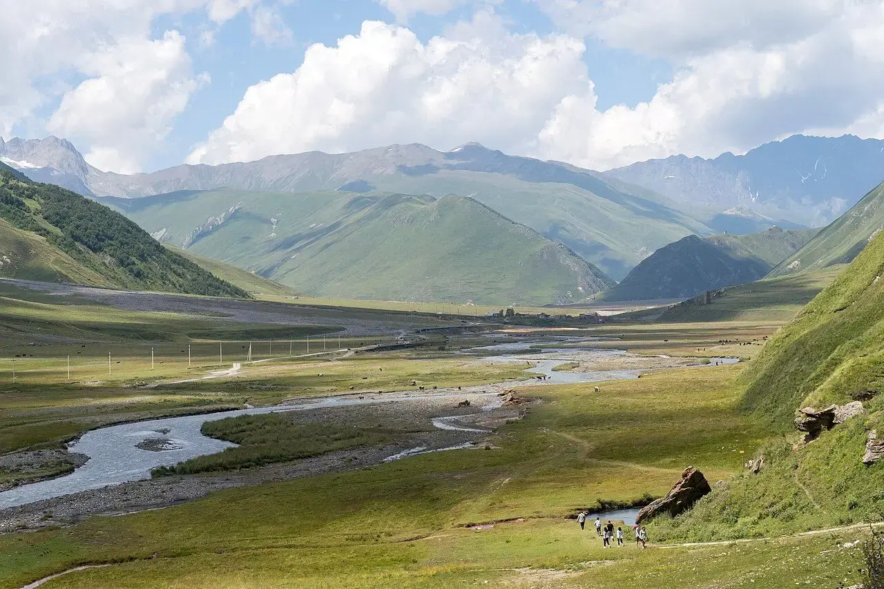
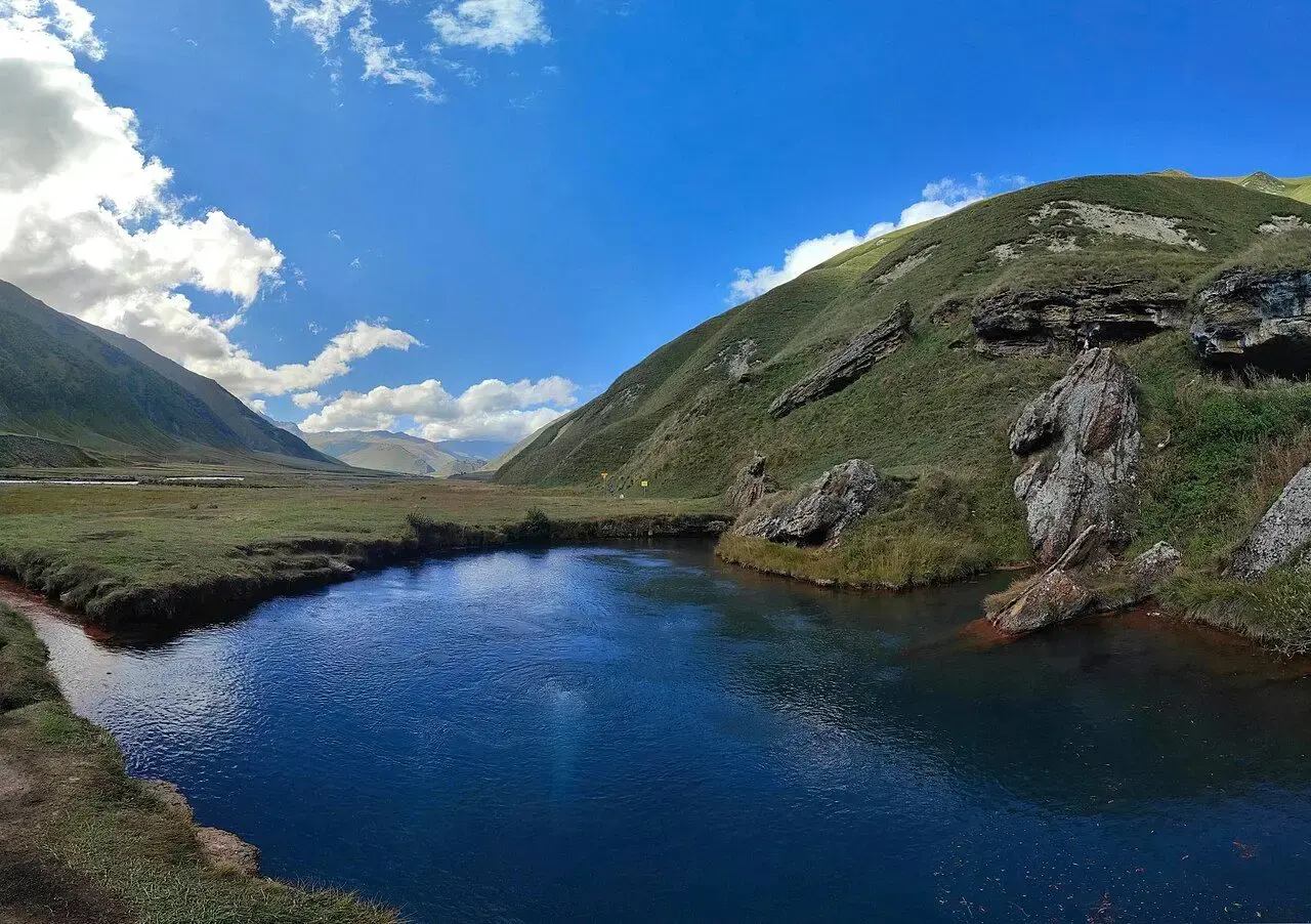
A wide high valley along the upper Terek river, known for mineral springs, colourful travertine terraces and abandoned stone villages. Map point: the Truso Travertines natural monument.
Good to know
The upper valley approaches the administrative boundary line with the Russian-occupied Tskhinvali region (South Ossetia). Ask locally how far you may go.
Map
Loading map…
Sources & verification
Location referenced from public sources
Not yet checked on site by Arround The Georgia. Data retrieved 16 October 2026.
- Wikidata Q141130414 · CC0 1.0
This entry is part of Arround The Georgia’s development dataset. Names and coordinates are taken from cited public sources; descriptions are editorial summaries.
Suggest a correction →More in Kazbegi
 Must SeeViewpoint
 Local FavoriteHiking
 Hidden GemLake
 Photo SpotCanyon